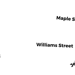
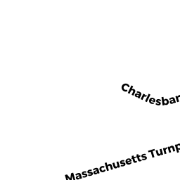
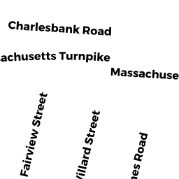
137 CHARLESBANK RD
Owner Information
137 CHARLESBANK ROAD MASTER DEED
137 CHARLESBANK RD
NEWTON, MA 02458


Property Details
137 CHARLESBANK RD is classified as a Other, Open Space (Condominium).
The primary structure on this property was built in 2017. There are 4,916ft2 of built area within this property. There is 3,056ft2 of residential/living space within this property. There are 2 units within this property.
137 CHARLESBANK RD is valued at $0. The land is valued at $0 and the structures are valued at $0.
The most recent deed for 137 CHARLESBANK RD is recorded at the local registrar in Book 68958, Page 409. 137 CHARLESBANK RD was last sold on Wednesday, March 1, 2017 for $1.
Assessment data from fiscal year 2022.
Flood Data
According to the FEMA National Flood Hazard Layer, this property does not appear to be in a flood zone. It may also be in an area not yet reviewed. Nonetheless, confirm this information prior to taking any action.
To view the flood hazards around this property, create a FEMA "Firmette" Map of the area around 137 CHARLESBANK RD.
Broadband Internet Providers
| Provider | Type | Bandwidth (mbps) | |
|---|---|---|---|
| RCN | Cable | 1000 | 20 |
| VSAT Systems, LLC. | Satellite | 2 | 1 |
| HughesNet | Satellite | 25 | 3 |
| GCI Communication Corp. | Satellite | 0 | 0 |
| RCN | Cable | 500 | 20 |
| Comcast | Cable | 1000 | 35 |
| Verizon New England Inc. | Fiber | 940 | 880 |
| Verizon New England Inc. | DSL | 5 | 0 |
| Viasat Inc | Satellite | 100 | 3 |
Broadband service provider data from December 2020.
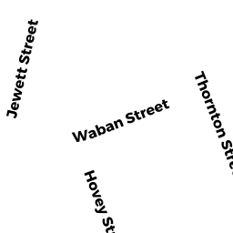
Adjacent Properties
- 8 NONANTUM PL
Single Family Residential owned by COOKE JONATHAN P & SARAH VOLKMAN - 131 CHARLESBANK RD #A
Residential Condominium owned by KIN PUN HONG - 131 CHARLESBANK RD #B
Residential Condominium owned by HU ZHENYA & CHUHENG - 131 CHARLESBANK RD #C
Residential Condominium owned by MILLER MICHAEL P - 131 CHARLESBANK RD #D
Residential Condominium owned by GRODBERG NANCY SUE - 131 CHARLESBANK RD
Other, Open Space owned by 131 CHARLESBANK ROAD MASTER DEED - 143 CHARLESBANK RD
Three-Family Residential owned by NUNEZ OSCAR E